Co-Lab is a collaborative faculty initiative in the College of Design at NC State University.
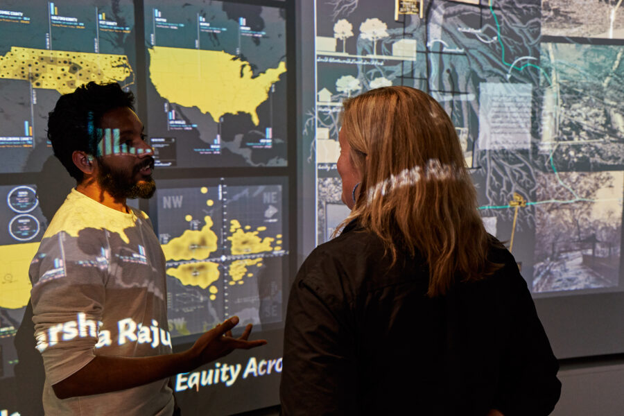
We explore both the theory and application of mapping as a critical research tool, participatory mapping as a dialectical engagement device, and the value of mapping and visualization in fields outside of design.
About Us
Sare Queen is an Associate Professor of Architecture at North Carolina State University
Tania Allen is an Associate Professor of Design Studies at North Carolina State University
Teaching
Co-Lab’s pedagogical approach uses techniques of mapping—analyzing and making meaning of raw data—as a comparative analytic tool and as a way to uncover hidden meanings between data and reality. Students in our courses analyze, synthesize and visualize the history of site, space and context, engage in field research as comparative analysis, and investigate and reflect on the effect of the mapping process on how data is understood. Through intense observation and interaction with census data, the physical environment and official and unofficial archival histories, students engage in a rich and triangulated approach to historical and social research. They use the tools of mapping and synthesis as a way to make meaning of their findings and explain it to the community itself.

DIY Cartography
This graduate level seminar uses critical cartography and practices of mapping to better understand the many complexities and dimensions that have contributed to the current state of urban development in Raleigh, The Triangle, North Carolina and US. A primary aim for this research is to ultimately create more equitable, effective and innovative approaches to the future of housing and urban development writ large. Towards supporting synthetic understanding of the factors hindering equity, this course examined historic and contemporary data specific to Raleigh NC, but also attempted to offer key insights for other cities across the country.
See a full interactive map of work from 2016 – 2020 here.
Visual Data
This advanced-level undergraduate and graduate course looked at techniques of mapping and information visualization to gather, display and understand design-based research topics. Students used both quantitative (statistics and numbers) as well as qualitative (observation and interpretation) methods of data gathering and presentation.
Projects
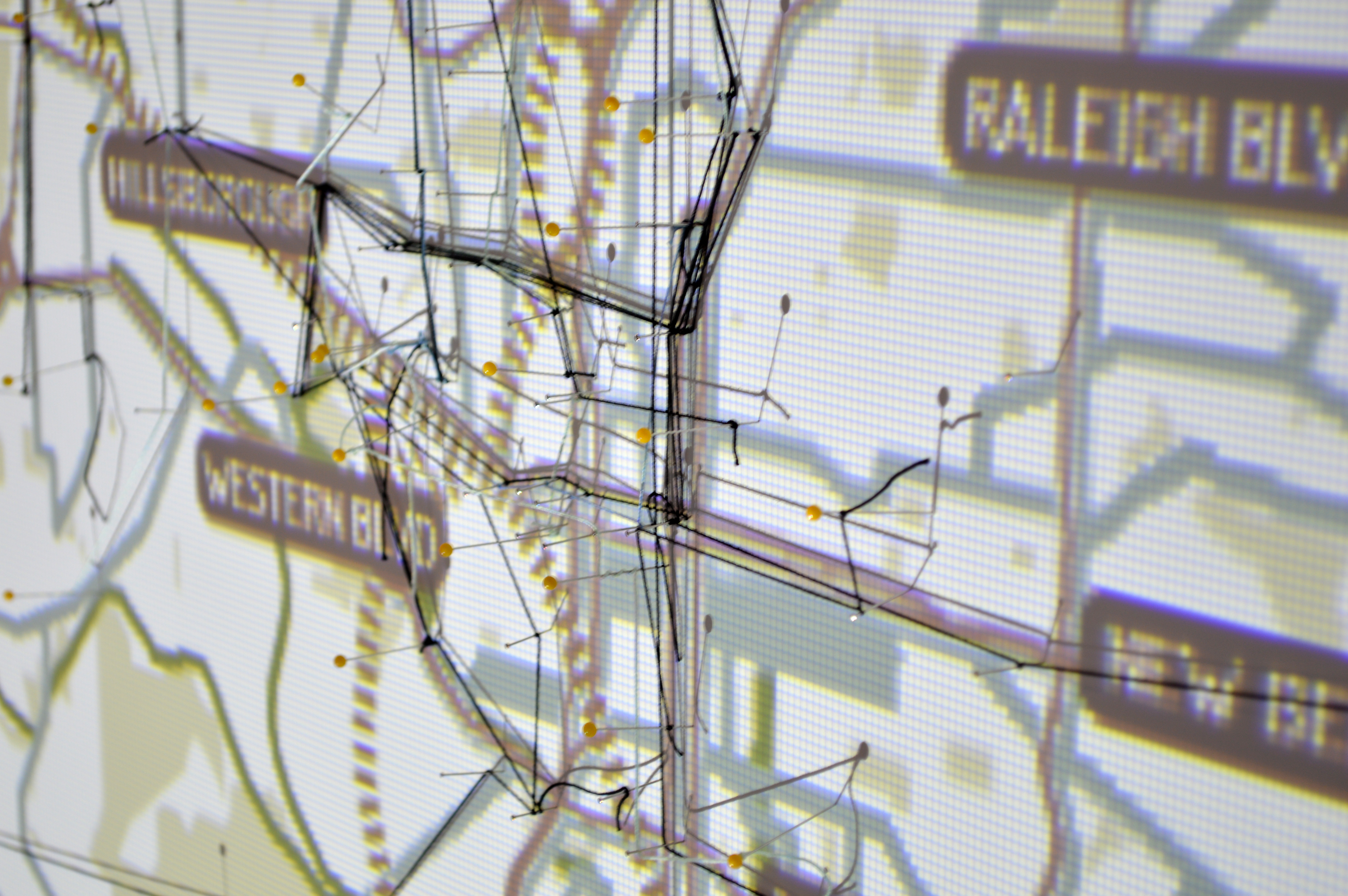
Co/Lab engages in a number of types of research projects that use mapping as a central component to simultaneously analyze and interrogate the research findings. As both an activity and an artifact, the activity of mapping foregrounds “truth” and gives visual evidence of the many truths that can exist simultaneously, thereby opening up a space for discussion and dialogue.
Projects that Co/Lab engages range from the theoretical to the practical. We have run mapping workshops, created interactive mapping platforms, and developed participatory exhibitions. We have partnered with academic units, city planners and officials, and community groups to engage in mapping-based research and dissemination around issues such as food systems, urban planning, urban history, and transportation.

Critical Cartography and Thick Mapping
Borrowing from the concept of the thick description in anthropology, thick mapping attempts to integrate multiple types of information, scales, and perspectives, using the map as a medium to challenge the common or dominant perspective rooted in data. A current project investigates the role that confederate memorialization played in our understanding of the urban environment.
Workshops and Symposia
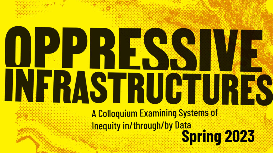
Since 2012 we have led a number of workshops and symposia. Most recently, we led a small colloquium on Data Equity which brought together academics, researchers and practitioners from multiple institutions around North Carolina to discuss strategies for improving transparency and trust in data collection, manipulation, and communication.

Publications
Since 2012 we have published a number of writings on critical cartography and design research. We have been invited to give lectures on pedagogical approaches to critical cartography and to share our work and the work of students regionally and nationally. Most recently we contributed two book chapters to Empty Pedestals, edited by Kofi Boone and Elen Deming.

Books and Book Chapters
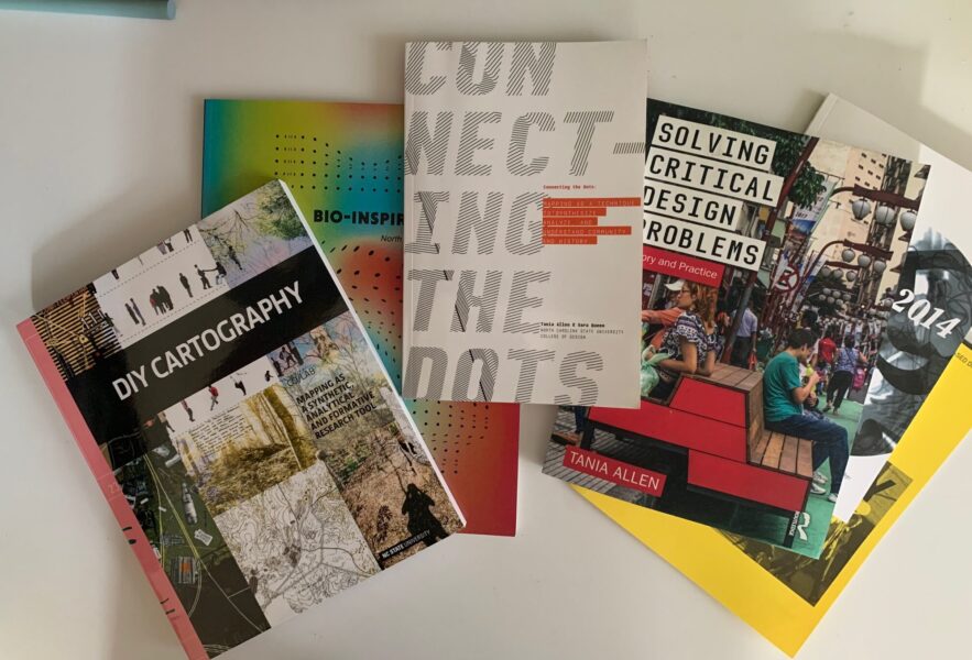
Allen, Tania and Queen, Sara. DIY Cartography: Mapping as Analytic, Synthetic and Formative Design Research Tool. Design Communication Association, October 2018.
Allen, Tania and Queen, Sara. “Critical Placemaking: Towards a more critical engagement for
participatory design in the urban environment.” Design Research Society, Catalyst. June 2018.
Journal Articles
Allen, Tania and Queen, Sara. “Beyond the Map: Unpacking Critical Cartography in the Digital Humanities.” Visible Language Special Issue: Critical Making, Design and the Digital Humanities. Vol 49.3, December 2015, 78-99.
Allen, Tania. “Maps, Mapping and Cultural Identity: Implications for Design.” Infrastructural Worlds Symposium. Duke University Department of Cultural Anthropology, April 2014.
Allen, Tania, Sara Queen and Marc Russo. “Mapping Focus: A Proposed Research Network.”
Spaces and Flows, Fall 2011.