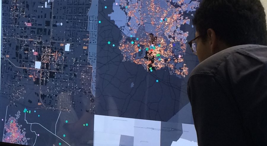
This graduate level seminar uses techniques of mapping—analyzing and making meaning of raw data—as a comparative analytic tool and as a way to uncover hidden meanings between data and reality. Connected to an ongoing project in partnership with the Urban Design Center and the City of Raleigh (COR) Museum, this course will analyze, synthesize and visualize Raleigh’s history, engage in field research as comparative analysis, and investigate and reflect on the effect of the mapping process on how data is understood. Through intense observation and interaction with census data, the physical environment and the offical and unofficial archival history of Raleigh, students will engage in a rich and triangulated approach to historical and social research. They will use the tools of mapping and synthesis as a way to make meaning of their findings and explain it to the community itself.
LEARNING OUTCOMES:
Participants leave the course with an understanding of current urban research and with a variety of mapping tools to conduct urban and community based research themselves. The course discusses research and analysis methodologies, i.e., the how, but also attempts to foreground the why. How might the mapping process uncover hidden findings or data? What role do these visualization techniques have in coding and decoding urban phenomena? What is the rhetorical value and how might we, as designers, acknowledge the argument that we make through the process of synthesis? How might mapping and the role of the designer affect the research process? What value is added or lost through visualizing complexity