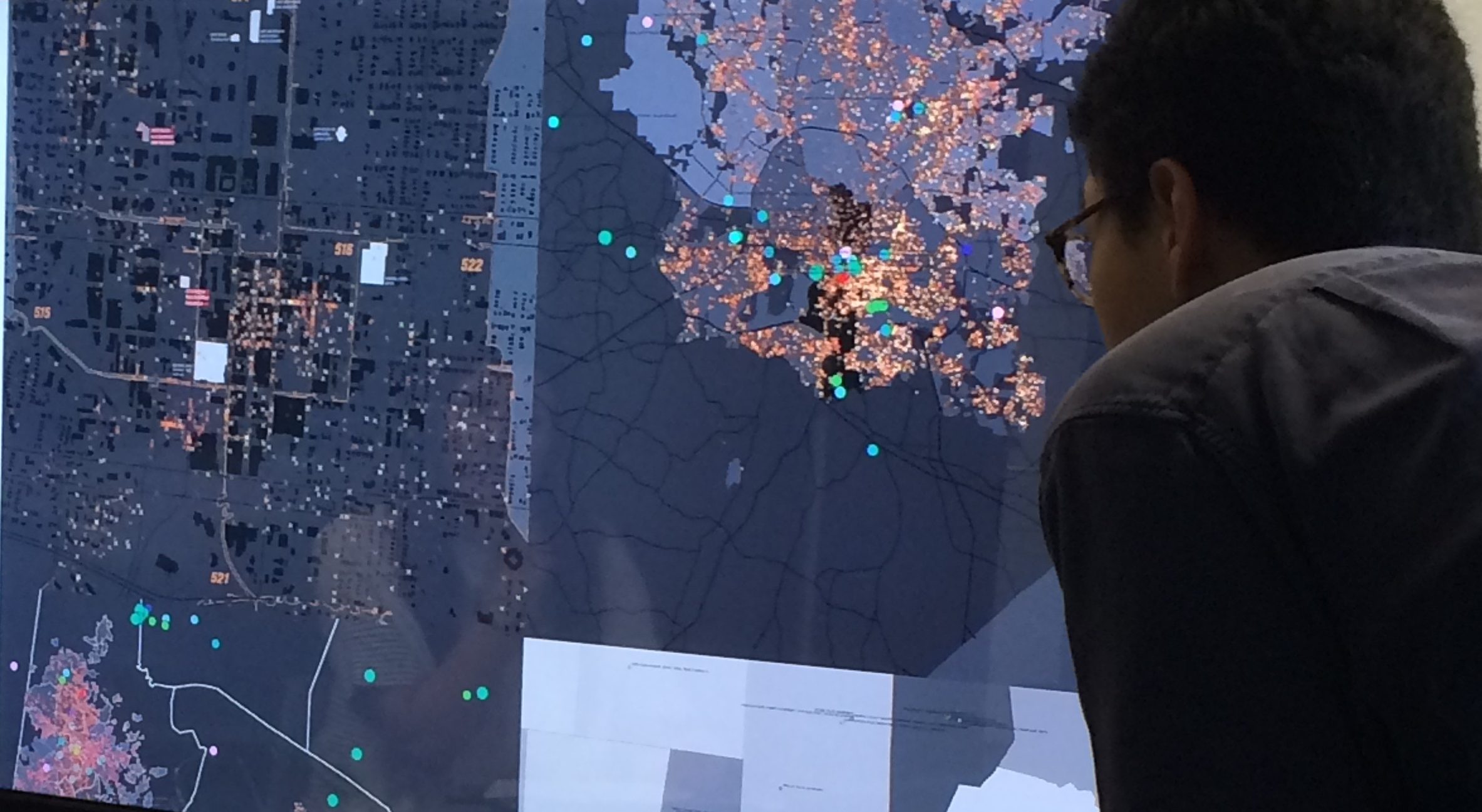
Co-Lab’s pedagogical approach uses techniques of mapping—analyzing and making meaning of raw data—as a comparative analytic tool and as a way to uncover hidden meanings between data and reality. Students in our courses analyze, synthesize and visualize the history of site, space and context, engage in field research as comparative analysis, and investigate and reflect on the effect of the mapping process on how data is understood. Through intense observation and interaction with census data, the physical environment and official and unofficial archival histories, students engage in a rich and triangulated approach to historical and social research. They use the tools of mapping and synthesis as a way to make meaning of their findings and explain it to the community itself.
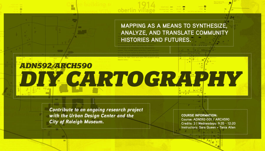
DIY Cartography is a bi-annual graduate level symposium taught in the College of Design at NC State. The course uses mapping as a critical research tool to study and better understand issues of inequity in the built environment.
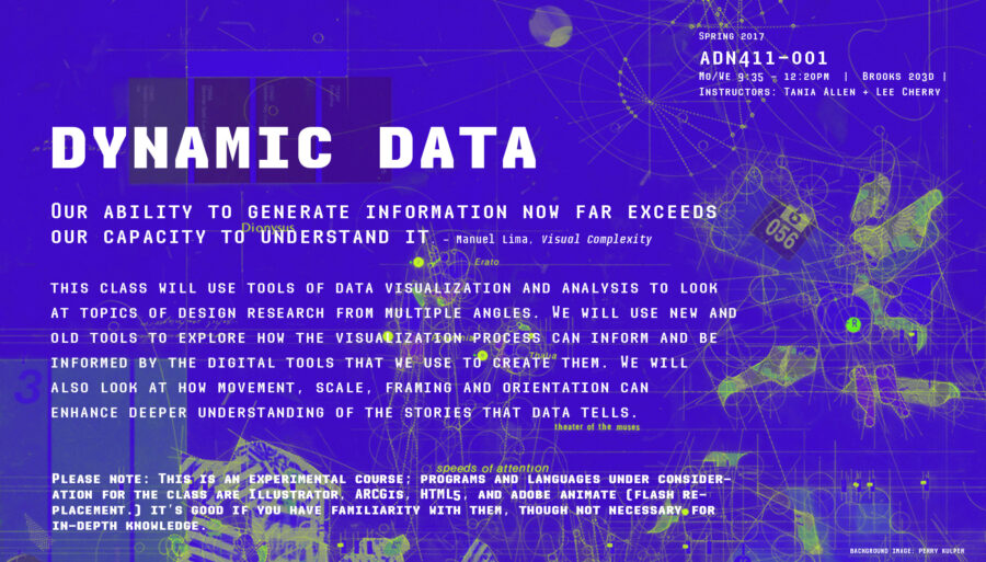
Dynamic Data is a combined graduate and undergraduate course that uses methods of data visualization, animation and interactivity to explore the way that multiple layers of information can be encoded and decoded.
Regional Infrastructures is a graduate level seminar that examines the infrastructural systems impacting urban development and planning.