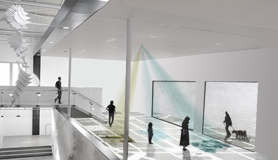
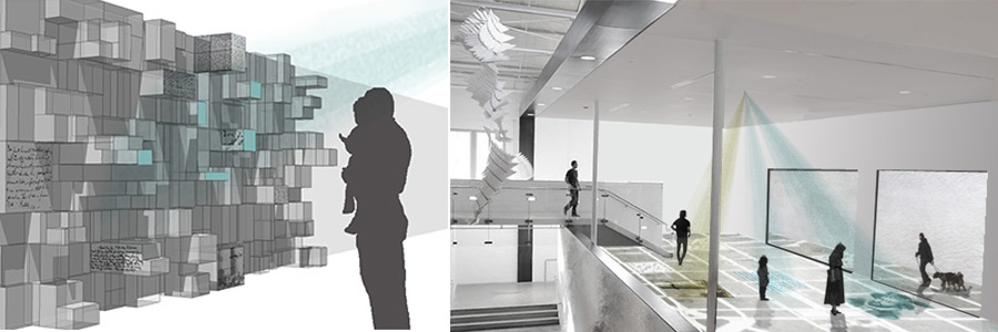
DIY Cartography is a project of creative placemaking—connecting citizens and community members to a deeper understanding of the city and urban environments through a rich and participatory historical interaction. The experience of the city is more than the sum of its parts. It is multi-variate, layered and comprised of stories and narratives that are idiosyncratic. Memories and connections with place are uniquely tied to the context and environment in which they exist—as immersive encounters triggered by a site, a smell, or a common feeling. This project seeks to examine the myriad ways narrative and site interact with each other to enrich historical perspective, through a series of site-specific historical spaces that citizens would engage with around the city. Partnering with the Urban Design Center, we seek to create a series of public, deconstructed exhibitions that encourage citizens to engage with Raleigh’s rich history, while exploring new ways to visualize, capture and integrate contemporary and historic voices into a rich discourse on community, culture and urban living.
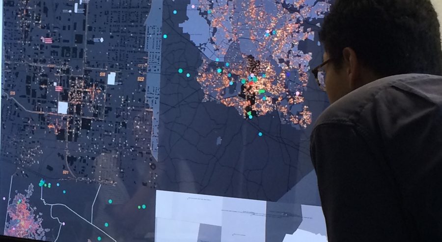
Using Raleigh’s historical markers as a starting place, this project will map out and uncover the diversity and complexity of the stories that are reduced down to fragments of ideas and narratives. These maps and visual narratives would then be curated and displayed in a decentralized collection of histories and narratives that would be encountered at various sites throughout the city of Raleigh. Over time, visitors would add to the collection—creating a diverse fabric of narratives and personal stories about the historical space. A walking tour map, initially devised by the DIY Cartography team, would highlight landmarks and locations throughout the city as sites of historical events and personal histories archived by the project. The walking tour map will primarily live online where users can sort types of stories, plan their itinerary, print their map, and even submit new personal histories to the archive. Eventually, this walking tour map would expand to a dynamic cartographic tool that users outside of Co/Lab could modify and expand based on the inclusion of their own personal stories.