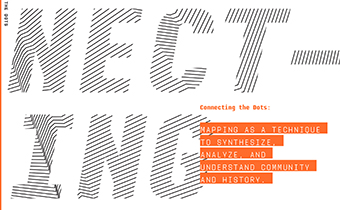
Connecting the Dots: Mapping as an Analytical, Synthetic and Format Research Tool.
This self-published book provided a broad, analytical evaluation of the course outcomes from the Connecting the Dots graduate course. Purchase a copy of the book through Lulu or Download a Full PDF
CELA Conference: Connecting The Dots
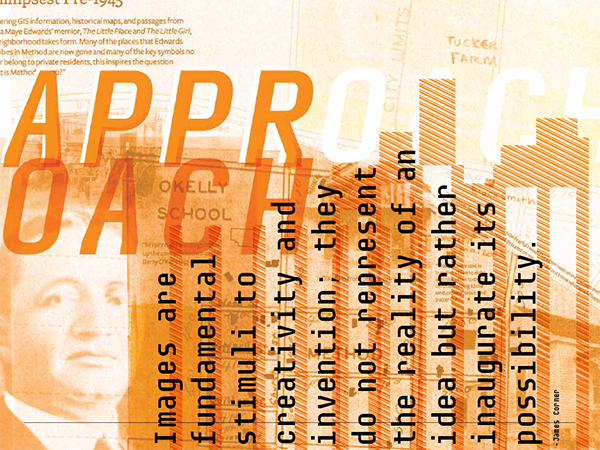
Abstract: If we identify ourselves as designers working in the public sphere and for the public interest, we must operate simultaneously as insiders and outsiders, as speculators and social scientists. Additionally our research methods must expand to include a diversity of perspectives and a multiplicity of lenses to understand the intricate systems comprising place. This paper outlines methods outside of our current design toolbox to expand research approaches through mapping as an analytical, synthetic and formative process. Specifically, it investigates the ability of mapping to translate research and data into critical visualization and propositional tools.
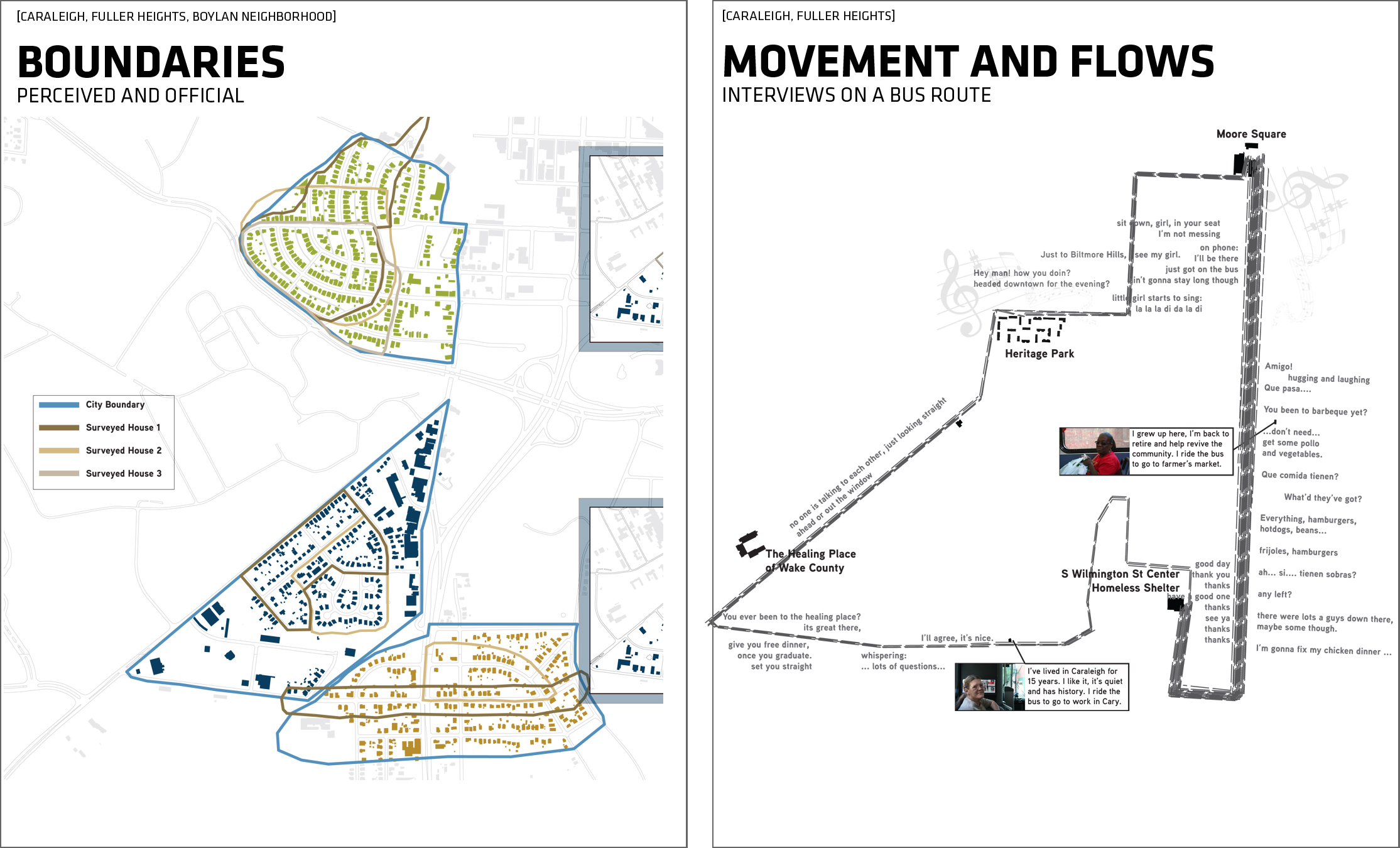
Through a cross-disciplinary graduate level seminar, we explored and applied diverse community engagement and research methodologies borrowed from landscape architecture, architecture, graphic design, and the social sciences. Mapping techniques were used to introduce students to research methods as cumulative, analytical and formative investigations. Students began researching local neighborhoods through the traditional methods of historical archives and GIS based data to uncover patterns in the built and social environment. From these insights, students were prompted to investigate and derive measurements of cultural, economic, political, and ecological forces precipitating those patterns. After extensive data-based research, students were then challenged to engage the community’s perception and understanding of those systems through the design and implementation of a culture probe. Pedagogically each method of information gathering was linked to different cartographic techniques which in turn generated a variety of geo-spatial, cognitive, and phenomenological visualizations of place. Through this course structure, we found an increased investment on the part of the students to uncover and understand the complexities of place.